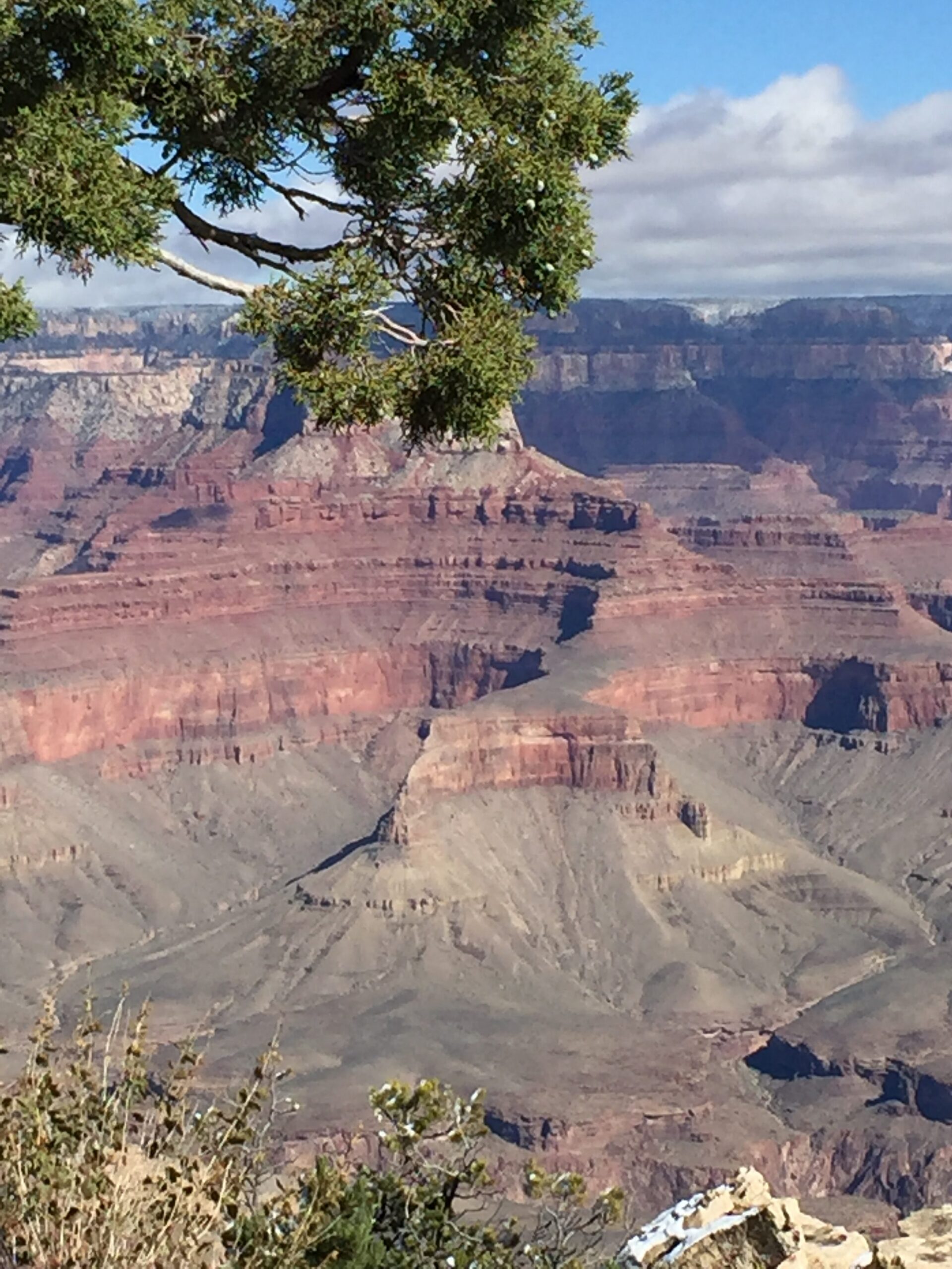
Location: Virginia Creeper Trail, Whitetop Station to Damascus, Virginia
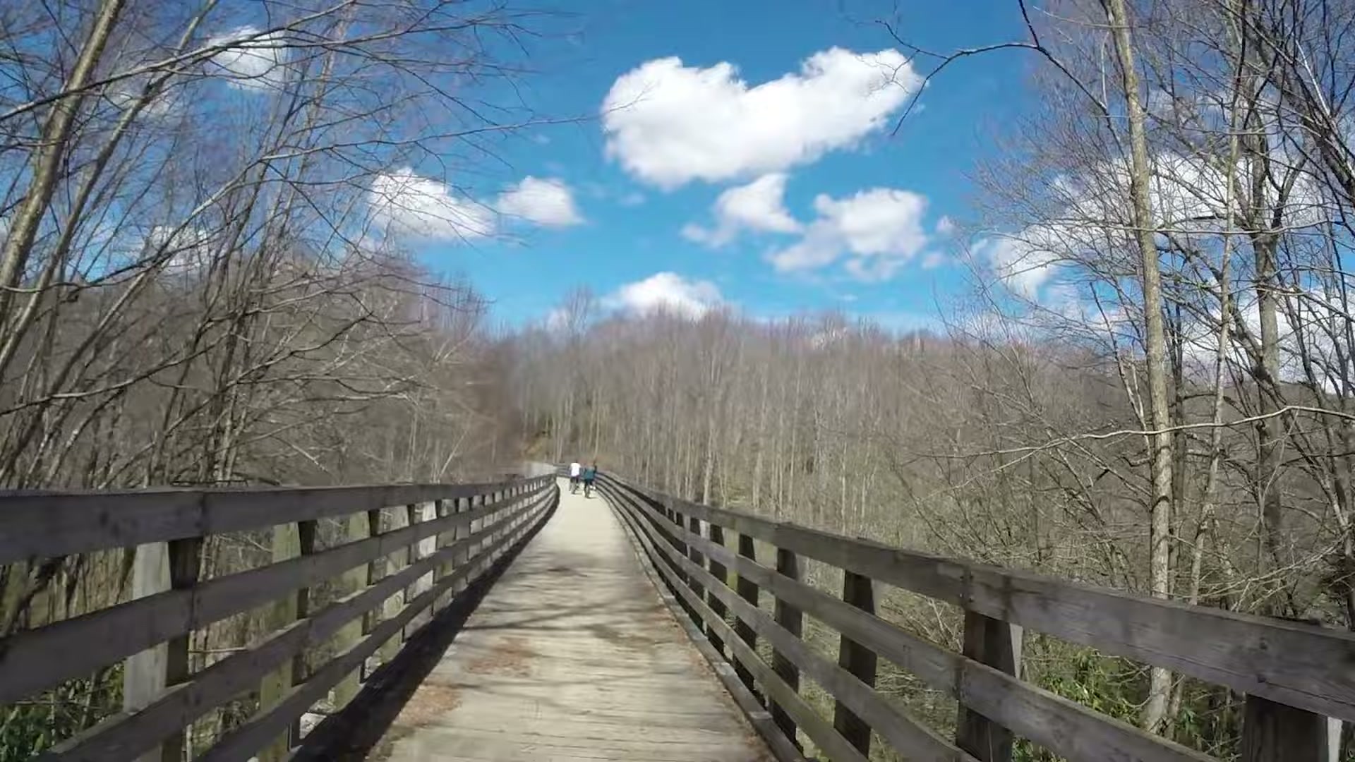
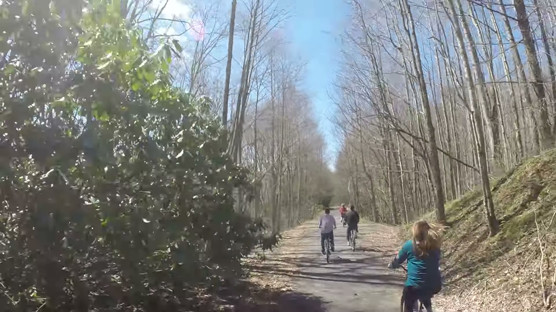
Seventeen miles, almost all of it downhill, on an old railroad bed through the mountains of southwest Virginia. That’s the pitch for the top half of the Virginia Creeper Trail, and it holds up. On March 29, 2017 my wife, a few friends and I rode it from Whitetop Station all the way down to Damascus.
I’d never ridden it before. Somebody told me it was almost all downhill, and that turned out to be the most accurate trail advice I’ve ever gotten.
A stop at Fox Creek General Store
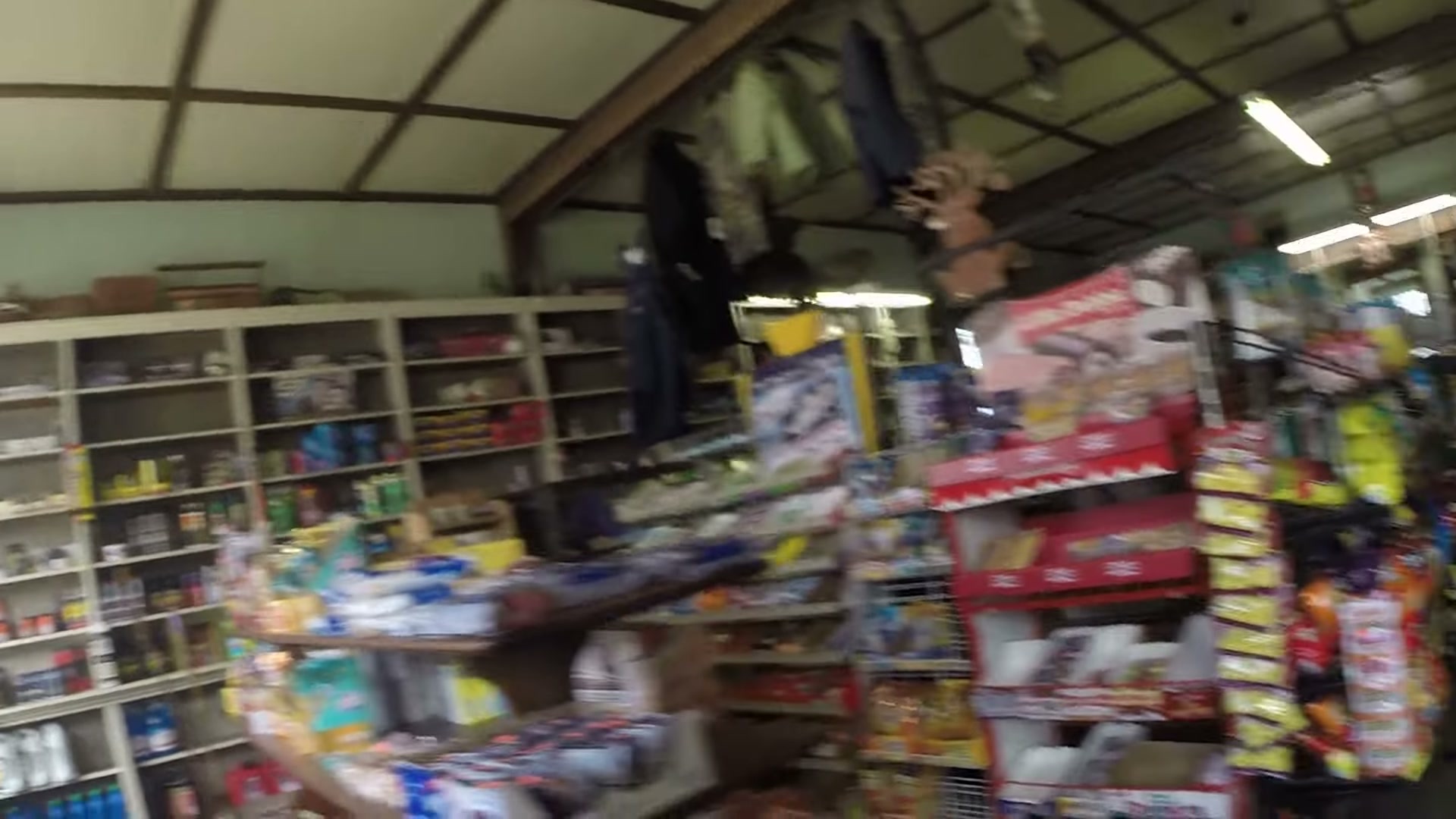
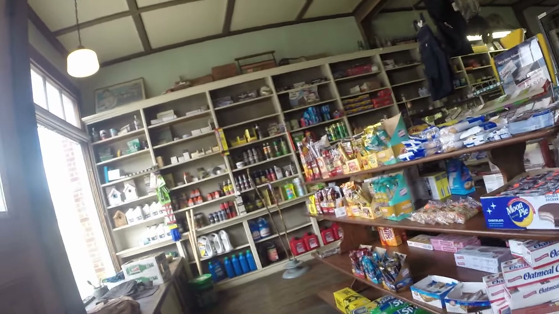
On the drive over we pulled into Fox Creek General Store. It’s an old-style country store with wooden shelves floor to ceiling, a little bit of everything stacked on them, and a Ben & Jerry’s freezer by the door. It’s the kind of place you stop at whether you need anything or not.
Starting at Whitetop Station
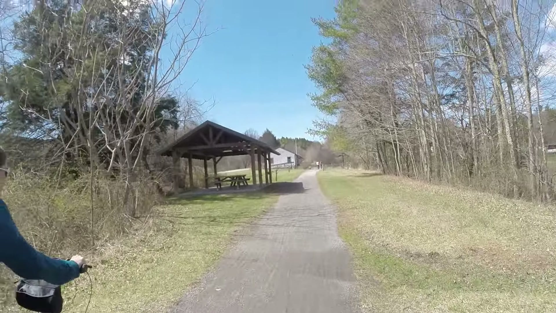
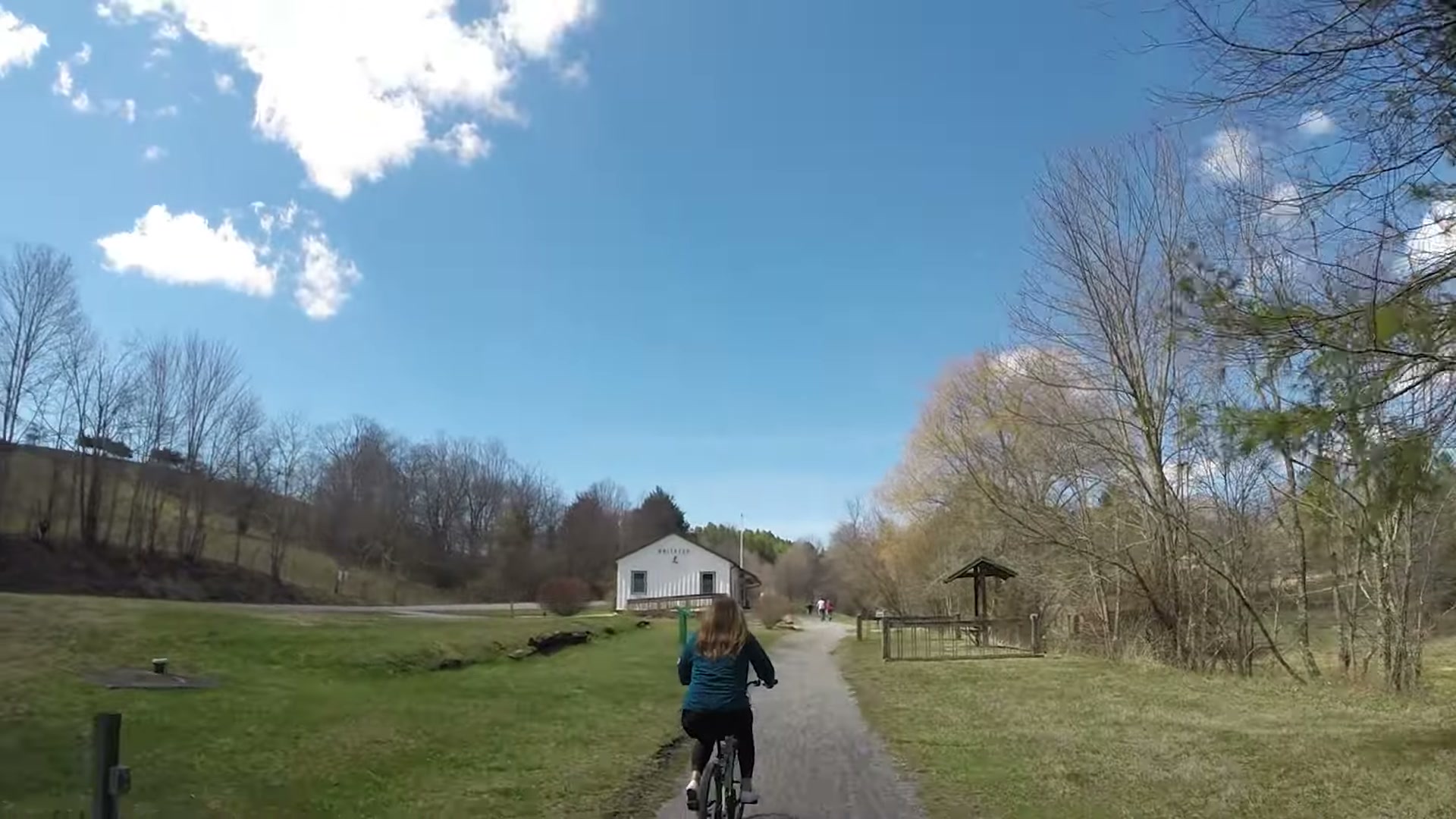
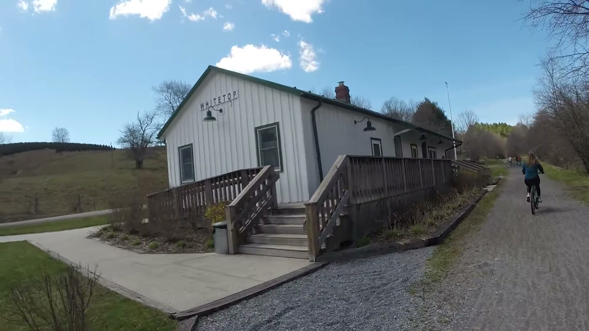
The ride starts at Whitetop Station, the old train depot near the top of the mountain, close to the North Carolina line. It’s the high end of the trail, and from there gravity does most of the work.
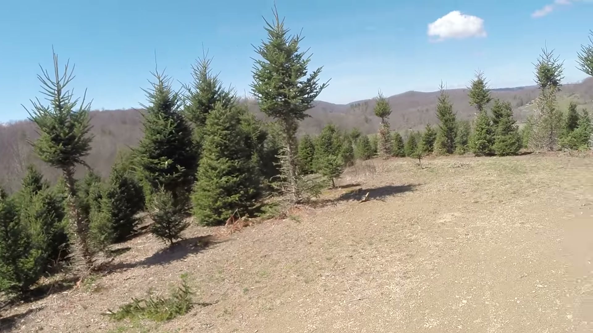
Right below the station you roll past Christmas tree farms, rows and rows of little evergreens on the hillsides. In late March, with everything else still bare, they’re about the only green thing on the mountain.
Nobody tears down the old homes
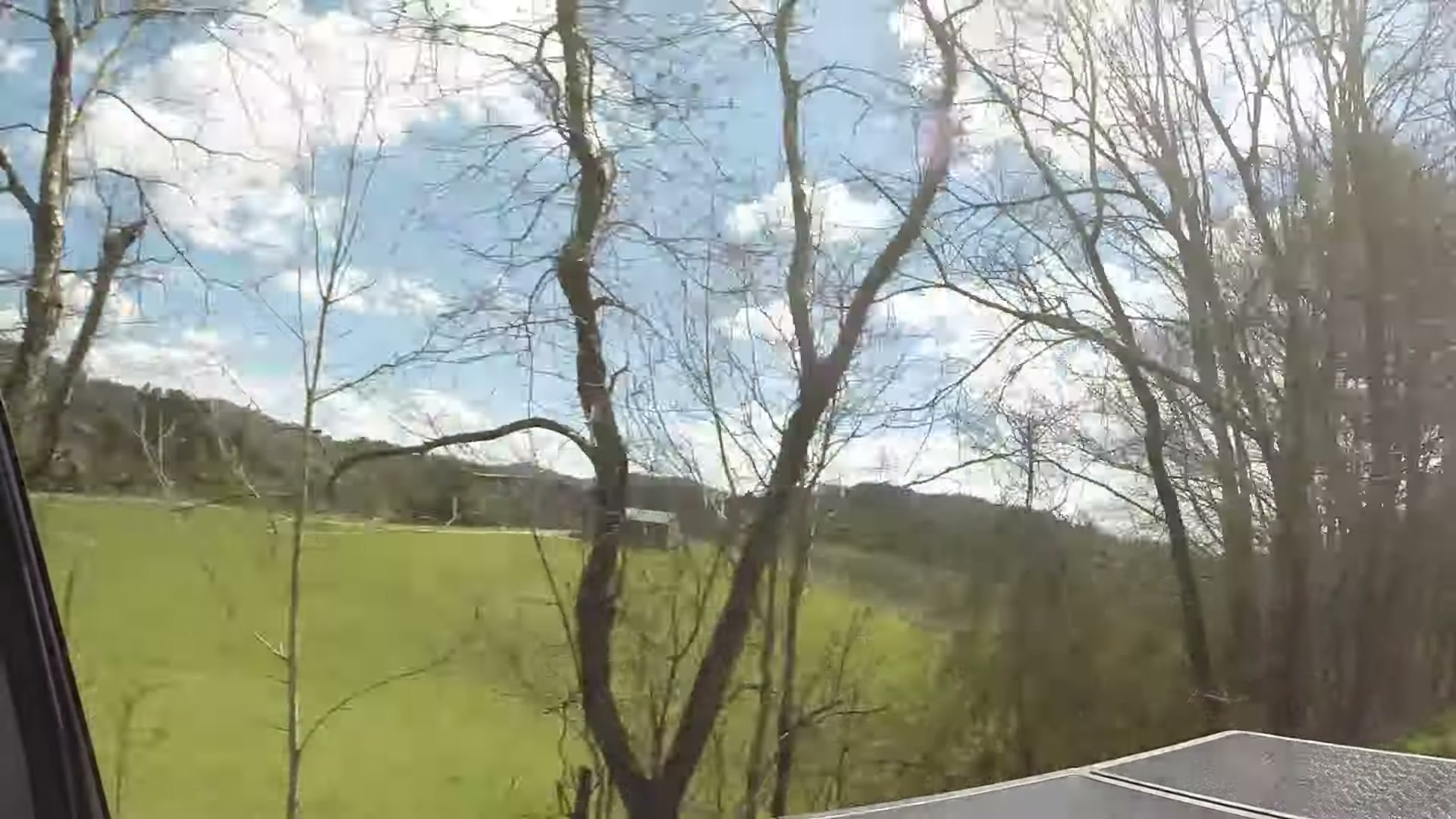
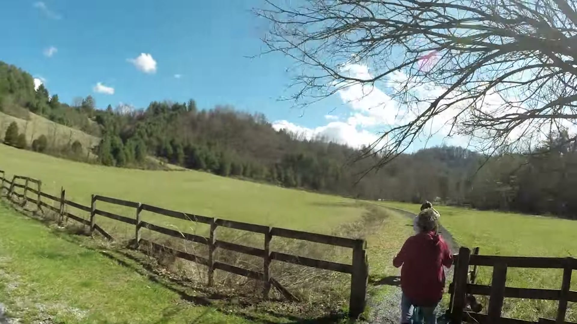
Here’s an interesting little thing about Virginia. Nobody tears down the old homes out here. When a family house is done, they just leave it. They don’t fix it up and they don’t knock it down. It sits there and slowly goes back to nature. You pass a few on the way down, and every one of them has a story you’ll never hear.
Trestles that used to hold a train
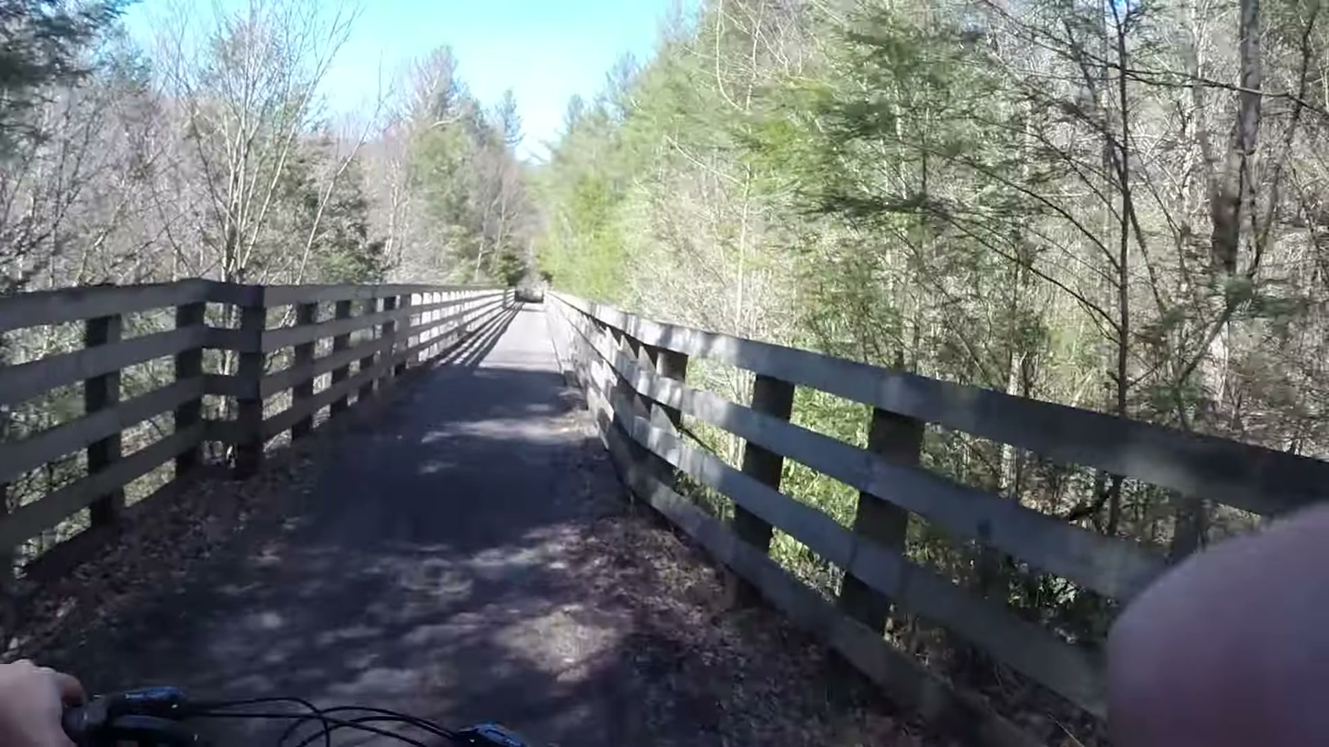
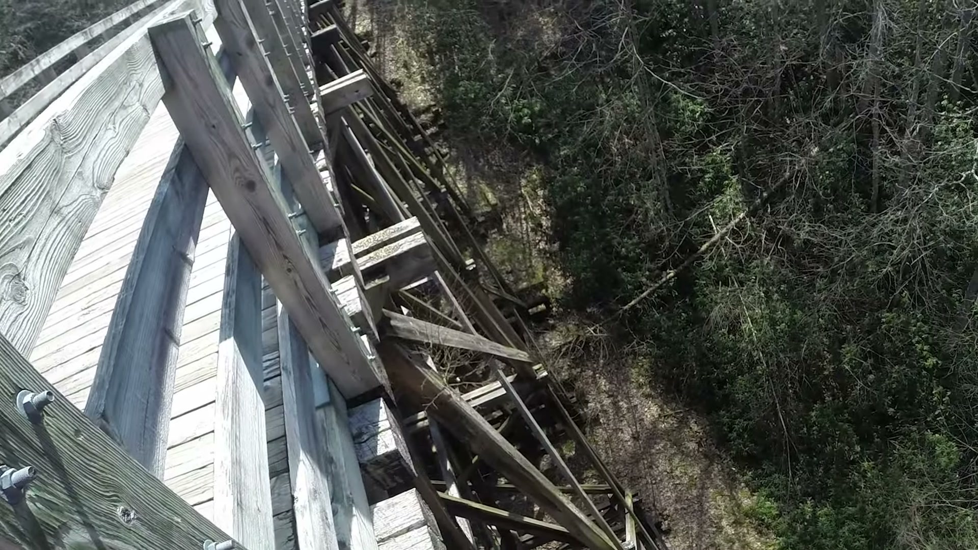
The best part of the Creeper is the trestles. The whole trail is an old railroad bed, and when you look up at one of the wooden trestles from below you can see why they feel so solid. These things were built to carry a train, so a group of us on bikes didn’t even make them flinch.

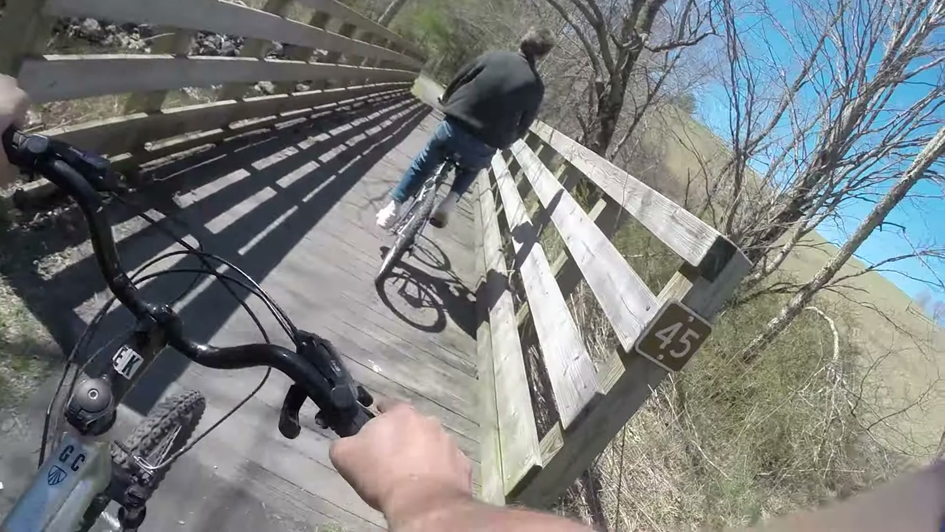
Mind the signs at the trestles. They ask you to call out when you’re passing on the left, and on a narrow bridge a bike that drifts too close feels a lot closer than it is. Stay to the right. Ask my wife how she feels about riders who don’t.
Two lessons from the top of the mountain
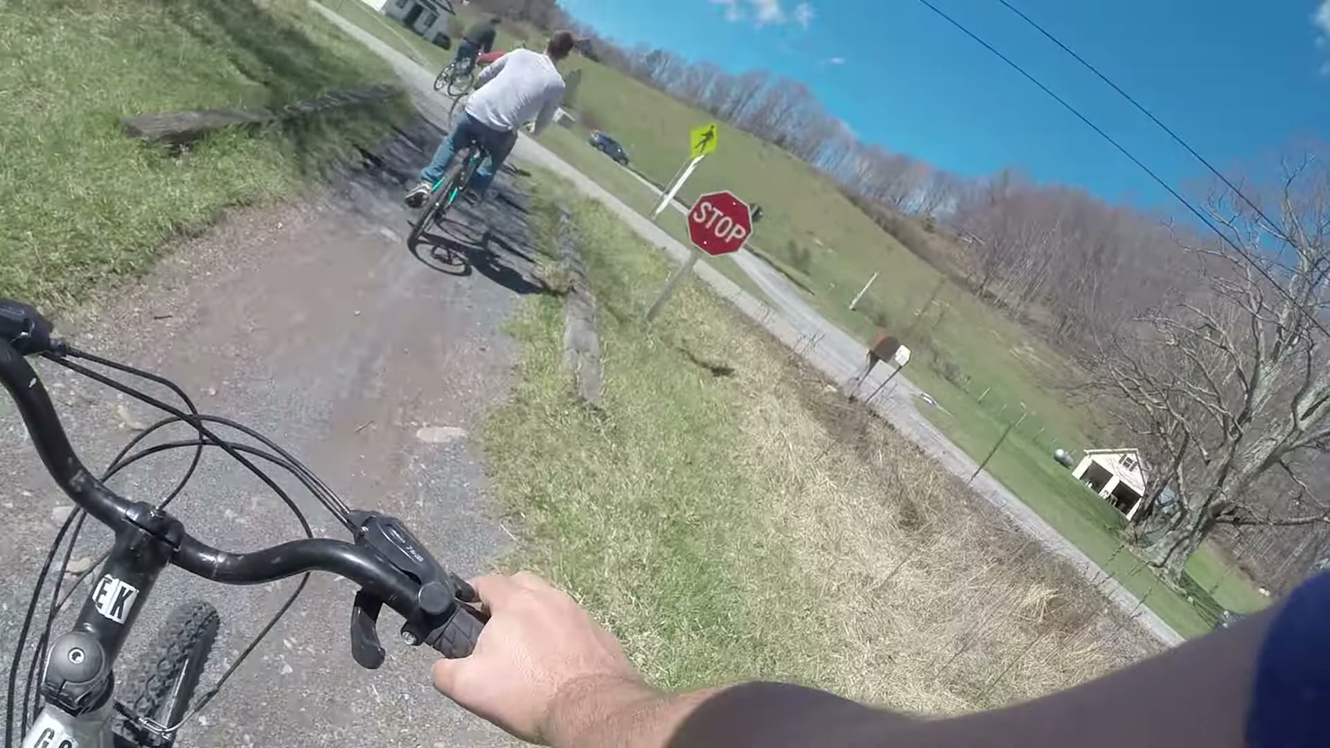
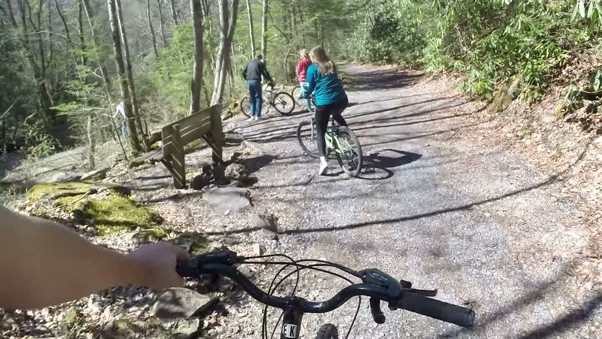
First, test your brakes before you start. One of our bikes had no rear brake, which is a fun thing to find out at the top of a 17-mile downhill. Second, bring a mount for your camera. I didn’t have one, so a lot of this video was shot with the GoPro in one hand and the other hand on the handlebars. Don’t be like me.
Rolling into Damascus
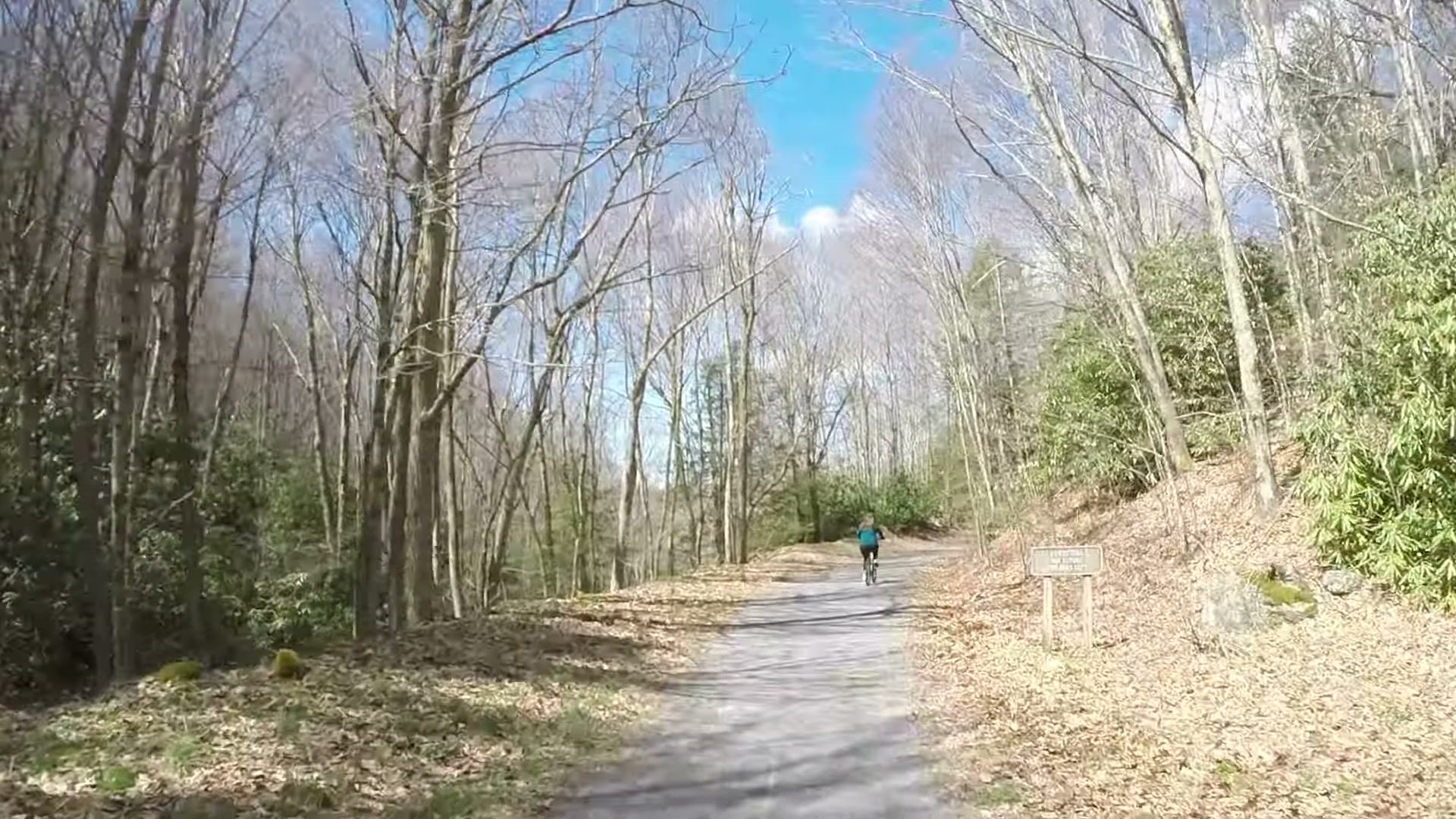
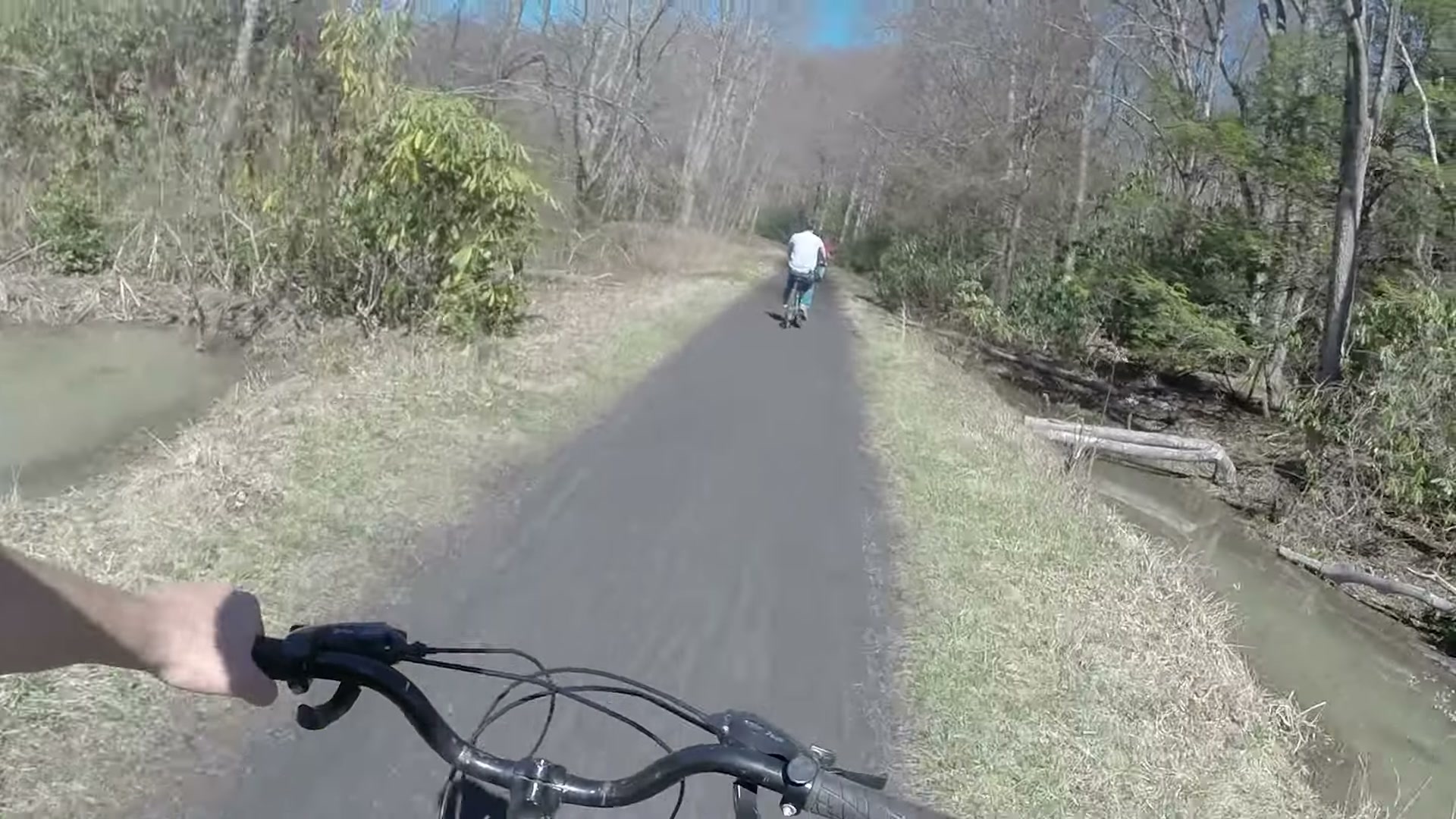
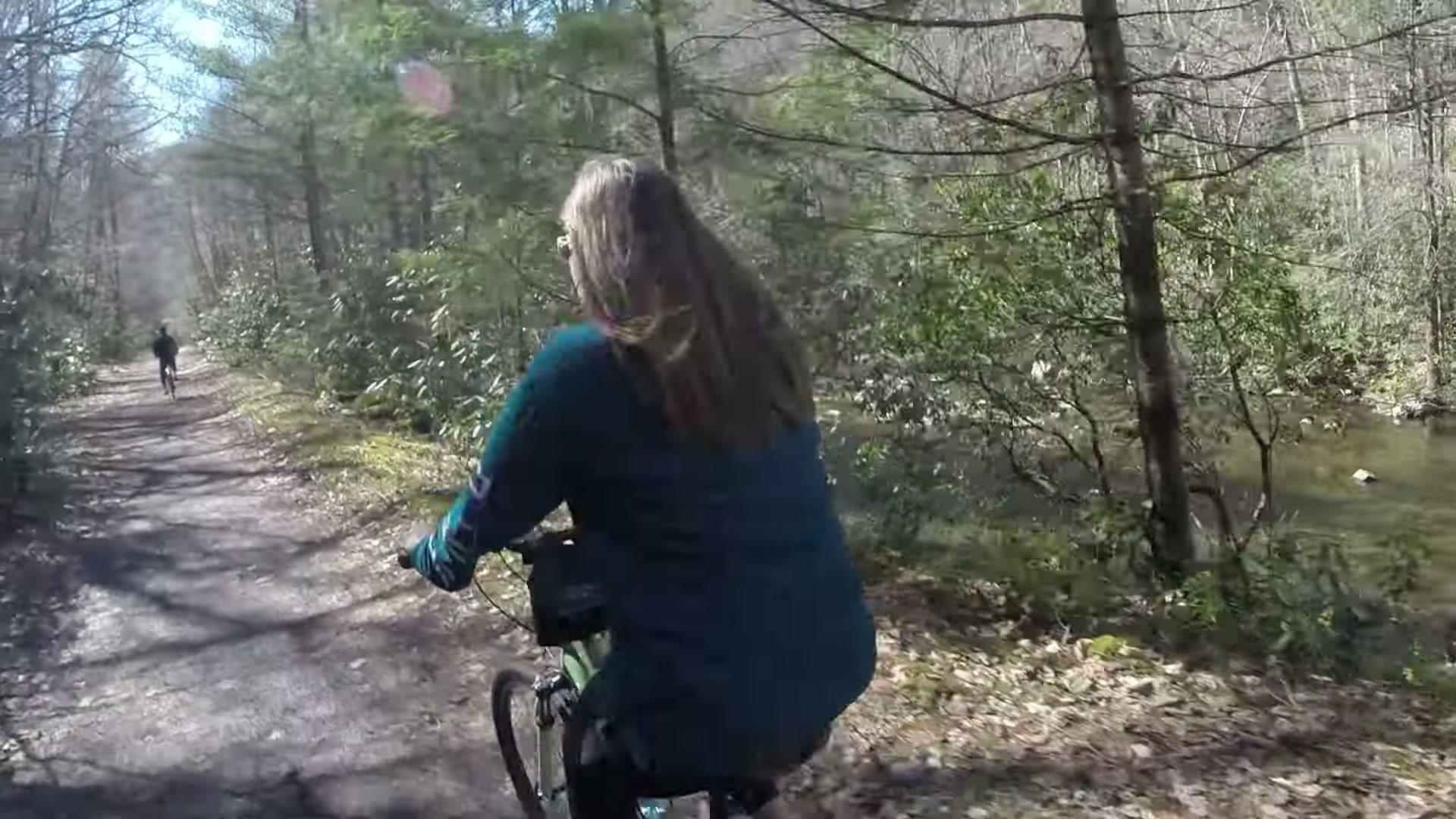
About halfway down we took a break and walked a short side trail, then got back on for the long cruise beside the creek. The light that afternoon was perfect, the kind where every bend in the trail looks like a postcard.
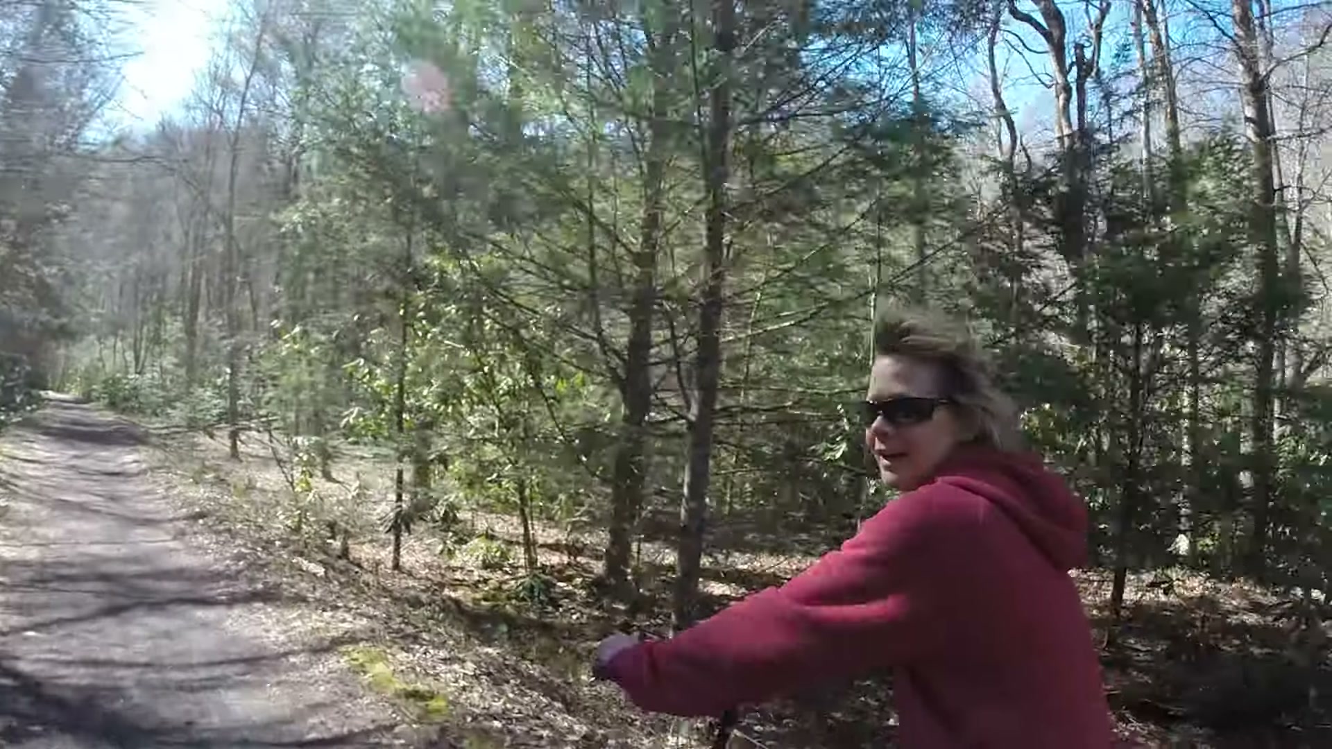
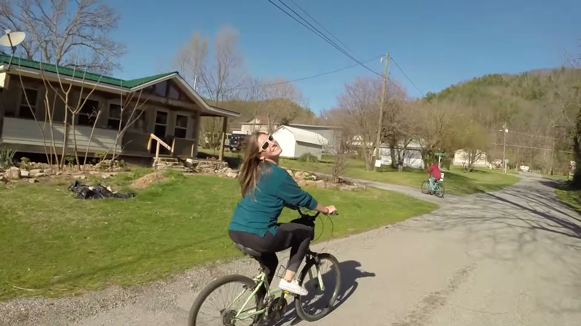
We made it to the end in Damascus, and my wife’s smile at the finish said everything. Of course, the very last little bit is uphill. Seventeen miles of coasting and the trail still makes you earn the finish line!
CONCLUSION
The Creeper Trail is about as easy as a 17-mile ride gets, and it’s still one of the prettiest days I’ve ever spent on a bike. Rent a bike in Damascus, catch a shuttle to the top, check your brakes and let gravity do the rest. The upper half is due back on March 31, 2027, so put it on the calendar. In the meantime, watch the ride in the video above.
More from this adventure